Tuesday, September 16, 2014

Red River Area

 It's called "The Enchanted Circle".  It is a circle from Angel Fire, through Eagles Nest, on to Red River then Questa, Taos, and finally back to Angle Fire.   We camp about 16 miles below Angle fire.  Some days the fog hovers over the valley when we get to Angel Fire then we drive above it and can look down on the clouds.  This trip wasn't like that.  

These pictures are at a couple of little lakes below Red River, on the Red River.   Fawn Lakes is the name of it.   We usually stop and fishermen fish while I take pictures or just hang out. 


 After we left there heading toward Questa we saw these big horn sheep at another camp ground.  We turned around and got some pictures of them.  We have saw them before at the Rio Grande Gorge at Taos, but never along this road. 


 New stop was the Wild River http://www.blm.gov/nm/st/en/prog/recreation/taos/wild_rivers_rec_area.html .  It is where the Red River meets the Rio Grande.  It is a LONG ways from the driving area to where they meet.   I had wanted to hike down which wouldn't be too hard, but the thought of hiking back out was enough to stop me.   I think it is around 800 feet to the bottom. 


 This picture shows both the Red and Rio Grande.


Morphy Lake

 I LOVE Morphy Lake!  It is a TINY lake on top of a mountain.  The road going up to it is one lane and has a couple of switch backs.  Max. length for rv's is 19 ft.  So we don't camp there, just day visit.   It is about a mile to walk all the way around the lake.   That is what I do while the others fish.  These are the pictures I took this trip. 


El Morro

El Morro is also known as Inscription Rock.  It has writings dating back to 1600s. It has a pool of water at the bottom that was a most welcome site in this dry land for travelers of all nationalities. 

You can start to get an idea of how large it is by seeing how small the kids look walking in front of me as we start around to look at the writings.   The pool is straight in front, right at the curve of the mountain. 


View from the bottom. I am planning on going to the top.  At this moment I am wondering how I will make it. 

View from the trail up..... It was a good excuse to stop and take pictures and BREATHE. 


I love this picture.  It is kinda hard to see but there is a crack, between the rock that is the main mountain and the other rock that stands alone.  
To the top finally!!!

I didn't know until I made it to the top that the other side of El Morro is a box canyon.   I found that really neat.   These pictures are the inside of the canyon.  We walked around the U to the other side to come down to the parking lot. 

View into the distance from the top. 
Here is another shot of the rock that has the crack separating it from the main part of the mountain.
I found this tree interesting.  This picture doesn't really show how it was laying, I was trying to show the saddle that this tree has worn as it grew in the rock. 
Same tree, the saddle part is not in the picture. 
Now you get the more or less full picture.  The saddle part is in the rock above the stairs.  This is on top of the mesa
Stay on the trail!  That is what we were told.  The trail is chiseled into the the rock, back in the 30's.  If you look close you can see two lines in the rock that denote the trail 
This is the head of the box canyon, that we walked around to get to the other side.


Ruins on the other side.  The feel at one time as many as 1800 people lived on top of this mesa.  

Starting down, the pool is at the bottom of the mountain in this picture. 
I was MUCH slower than the kids as you can see in how fast they went down.  The buildings were in the distance below. 

I like old trees. I wonder how hold this tree is. 
 Here is a link to the site if you want more information. 

http://www.nps.gov/elmo/index.htm

Sunday, September 7, 2014

Grants

Today was a lot of fun.  We went to the Malpais which is Spanish for badlands. It is a volcanic flow or three.  Here or some of the pics I took

I thought this was a cool tree.  I wonder how old it is.  My guess is very old.

This is what the rocks on the "hiking trail" looked like at their smallest.

Colors didn't show up as well as  wanted on the pretty little flowers in front of this cactus.

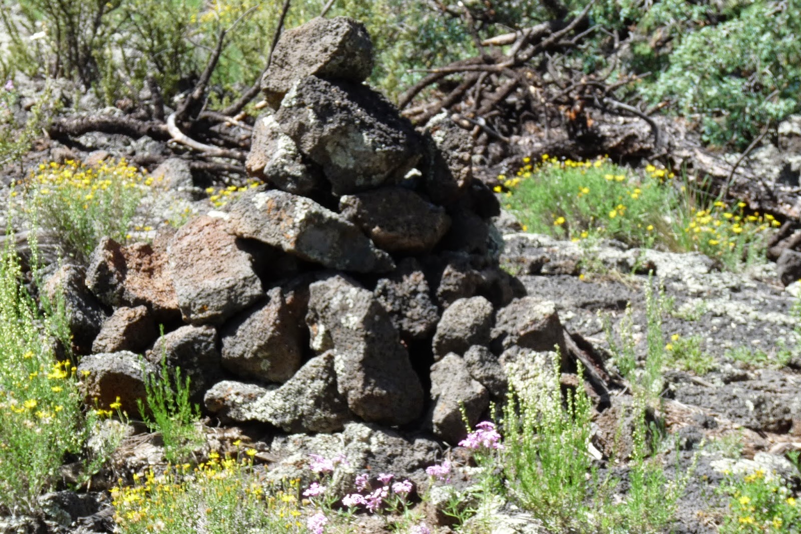
This was the rock cairns that we used to keep track of the "trail" across the malpais. 


It is hard to see the two cairns of rock in this picture across the lava.   It was a tough 1/2 hike taking about an hour to do the mile.  We could have did a 3 mile round trip but chickened out.   Walking was HARD.
Can you see the "trail" between me and the kids in the picture?  This is what the whole trail was like.


This was the natural bridge over some of the lava flow.  It helps you see how huge and deep this are. 

Checking out an old ice cave.